Downloadable Map
NCC 250K Topographic Map of Iran; Single Sheet
Price range: £31.20 through £49.00
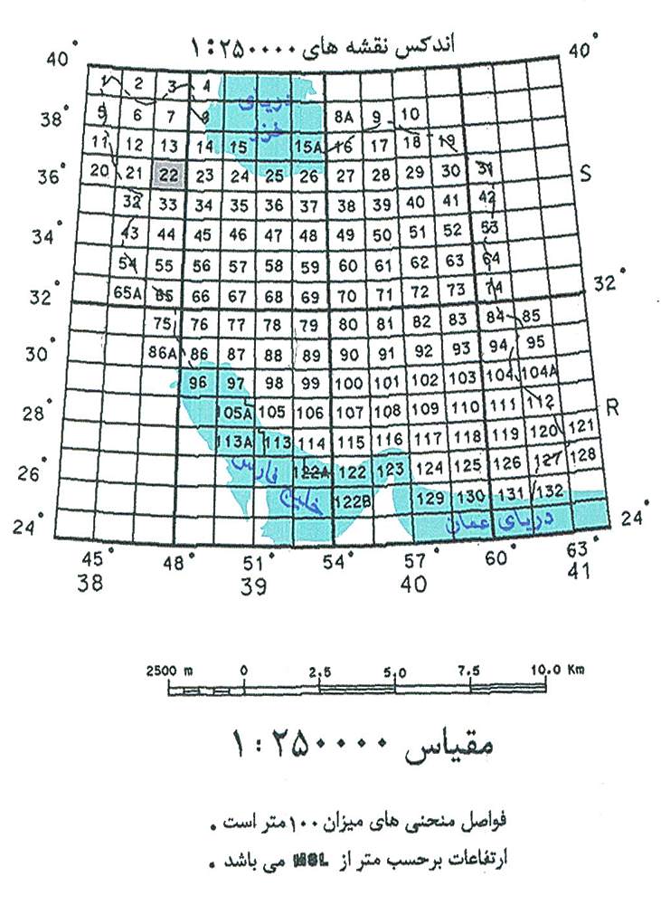
The NCC 250k Topographic Maps of Iran provide a detailed view of Iran's diverse landscapes, ideal for environmental planners, resource managers, and those passionate about geography. Featuring a collection of 77 individual map sheets, these maps offer valuable topographic information at a scale of 1:250,000. These maps are published in Persian and available in 300dpi raster PDF format and offer a reliable and authentic view.
Language
Persian
Publication Place
Tags
SKU
MNCC250k-1
Permalink
Collection Page:
NCC 250k Topographic Maps of Iran
NCC 250k Topographic Maps of Iran
Related products
Price range: £12.11 through £35.50
This product has multiple variants. The options may be chosen on the product page

Price range: £8.93 through £26.25
This product has multiple variants. The options may be chosen on the product page
Price range: £122.50 through £495.00
This product has multiple variants. The options may be chosen on the product page
Price range: £23.20 through £75.00
This product has multiple variants. The options may be chosen on the product page
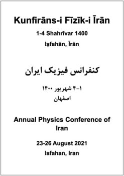
Conference Proceedings
Kunfirāns-i Fīzīk-i Īrān; 1-4 Shahrīvar 1400; Iṣfahān, Īrān
Price range: £88.20 through £314.50
This product has multiple variants. The options may be chosen on the product page
Price range: £14.45 through £53.75
This product has multiple variants. The options may be chosen on the product page